Konhabita Logo

Planning and Urban Design

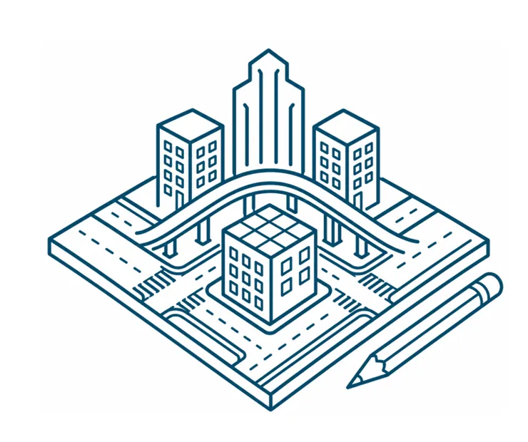
Urban planning is the process of designing and regulating land use, infrastructure, and the built environment in cities and towns. Its primary goal is to optimise the physical layout of human settlements.

Urban planning and design by Konhabita

How We Work

01

How we get there

Every plan begins with evidence. We build the picture of a place before we propose anything for it.

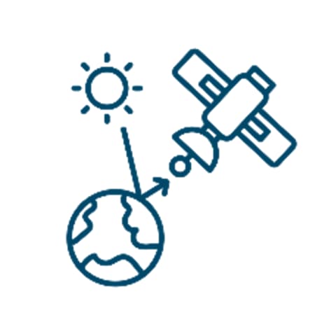
  • Collection of spatial data
  • Study demographics
  • Analyse geographical data
  • Integrating smart approach
  • Better planning & future ready
Tap to view diagram ↩
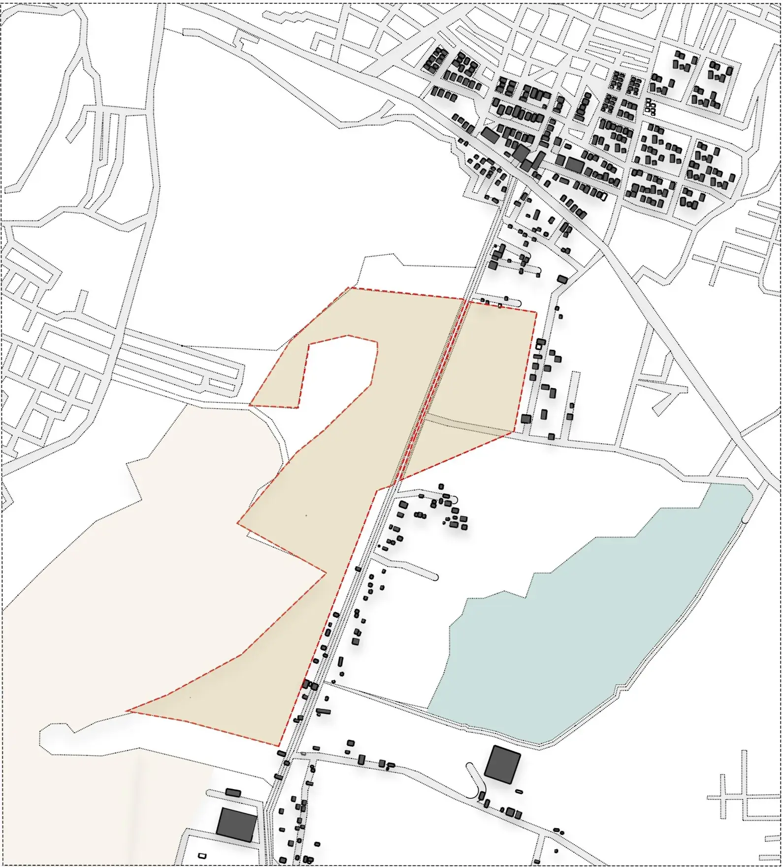
01How we get there
How we get there — Collection of spatial dataCollection of spatial data
How we get there — Study demographicsStudy demographics
How we get there — Analyse geographical dataAnalyse geographical data
How we get there — Integrating smart approachIntegrating smart approach
How we get there — Better planning & future readyBetter planning & future ready
02

Where urban planning applies

From the smallest street layout to the scale of a region, the same discipline holds.

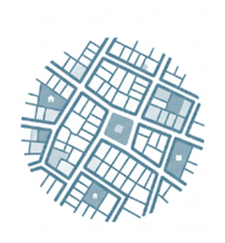
  • Micro level — street layouts
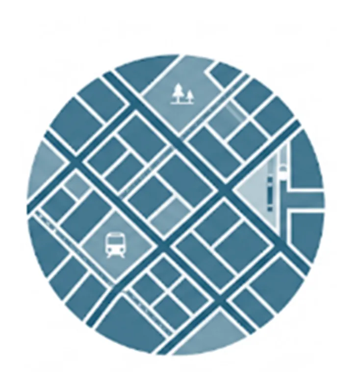
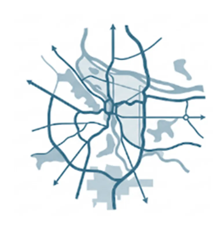
  • Macro — regional corridors
  • Metropolitan levels
Tap to view diagram ↩
02Where urban planning applies
Where urban planning applies — Micro level — street layoutsMicro level — street layouts
Where urban planning applies — Macro — regional corridorsMacro — regional corridors
Where urban planning applies — Metropolitan levelsMetropolitan levels
03

Along with

Planning only works when it is written into the systems that govern a place.

  • Land use and zoning
  • Transportation logistics and public utility
  • Statutory construction rules
Tap to view diagram ↩
03Along with
Along with — Land use and zoningLand use and zoning
Along with — Transportation logistics and public utilityTransportation logistics and public utility
Along with — Statutory construction rulesStatutory construction rules

Our Approach

Why

Urban systems as shared ecosystems

Cities operate as dynamic ecosystems where physical infrastructure, transit networks, social structures, and economic vitality are deeply interconnected. Addressing urban challenges requires an integrated approach rather than isolated interventions. By designing cohesive frameworks, we optimise daily civic experiences, strengthen community cohesion, and build adaptive resilience to accommodate population growth.

How

Insight-driven master planning

Sustainable urban outcomes rely on data-backed spatial strategy and empirical context. We synthesise land-use patterns, mobility networks, environmental data, and local socio-cultural dynamics to establish evidence-based planning models. By coordinating across engineering, architectural, and public sector disciplines, we develop scalable strategies that bridge the gap between neighbourhood-scale interventions and macro-regional frameworks.

What

Shaping future communities

We translate strategic frameworks into adaptable built environments, ranging from transit-oriented hubs and civic districts to waterfront revamps. These interventions establish flexible physical foundations that accommodate long-term economic, environmental, and demographic shifts.

Our core objective is to deliver functional, high-performing urban spaces that support economic growth and community well-being over generations.

Featured Planning + Urban Design Projects

View all projects
Planning & Urban Design • Studio Commissions Active

Connected public realms and inclusive communities

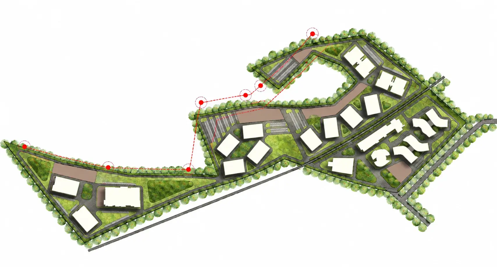
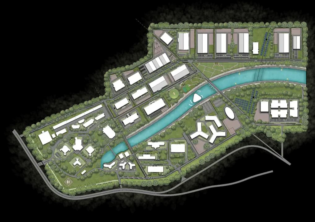
The idea is to focus on creating connected public realms, walkable neighbourhoods, mixed-use districts, transit-oriented developments, streetscapes, and civic spaces that enhance urban quality and foster inclusive communities.

Get In Touch